Product Launch: New Utilities and Environmental Solutions Get a Makeover
- iii
- Mar 8, 2017
- 2 min read
St. John's, NL (Canada) - As an application grows and changes so too must its branding. Several software products developed by the Integrated Informatics Inc. team in St. John's, Newfoundland and Labrador have recently undergone a name change to better represent the products themselves and the ways in which they are used in their respective industries.
These solutions include the Utilities Asset Inspection Toolkit and Integrated's LiDAR Toolkit.
Meet Integrated Rigger

Formerly known as the Utilities Asset Inspection Tool, this solution is now called Integrated Rigger.
Organizations within the Utilities Industries wear many hats, involving themselves in the collection of asset data, managing the wealth of resources for which they are responsible, and maintaining best practices and standards that keep both their employees and customers safe. Simultaneously, these companies often have the added stress of environmental conditions – like extreme weather conditions – that threaten the effectiveness of these services.
Integrated Rigger helps to combat this issue. This application adds a new resource to the workflow often used by these companies to ensure they make the most of their time and means. Established to support field crews working in extreme weather conditions, this application aides in the collection of large amounts of asset condition data necessary to guarantee continued high quality service. Designed for use on ruggedized tablets, Integrated Rigger leverages tactile and GPS functionalities alongside the latest Esri technologies as offline display of high resolution imagery.
Meet Integrated Forte

Formerly known as the LiDAR Toolkit, this product is now called Integrated Forte.
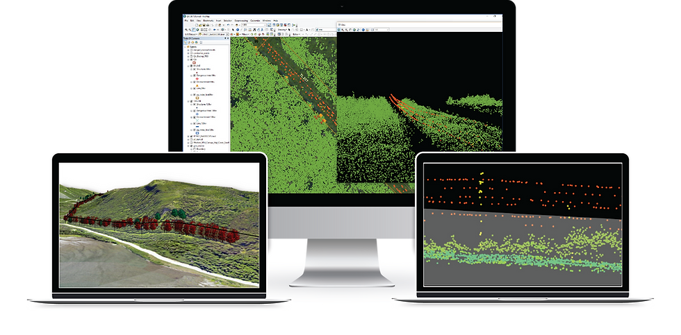
Among the many regulatory programs in which those organizations within the Utilities industry must participate, Vegetation Management Programs (VMP) are the fastest growing. Those teams responsible for Right-of-Way (RoW) management need a quick and reliable way to determine the areas on which to focus the most attention as well as ensure the results of this analysis may be easily reported and understood by their colleagues and constituents.
The Integrated Forte application is designed to assist in this process, providing solutions for companies to both run and maintain their VMP while still adhering to those regulations administered by the NERC and other bodies. Employed as an Add-In for ArcMap, it is highly customizable to account for these regulations and restrictions. The tools available within this solution allow for easily processing and analyzing LiDAR data to determine dangerous vegetation in the RoW, while also facilitating the recording of these areas by creating reports and generating map books.
Curious where these solutions fit within your workflow? Learn more about Integrated Rigger and Integrated Forte in their original product announcements.
Ready for a trial or demo? Contact our team at gis@integrated-informatics.com now. View additional product details online here.


Comments